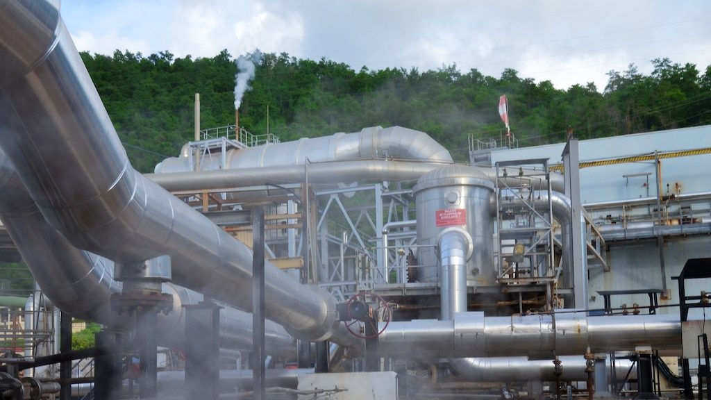
Bouillante geothermal power plant, Guadeloupe (source: OECS)
An innovative geophysical imaging technique that uses both active and passive sources and can be used in both terrestrial and marine environments is currently being tested in Bouillante in the archipelago of Guadeloupe. This work is part of the TEC INTERREG V project in collaboration with the Organization of Eastern Caribbean States (OECS), the French Agency for Ecological Transition (ADEME), and the French Geological Survey (BRGM).
The challenges of geothermal exploration in the Caribbean
As the eastern islands of the Caribbean are of volcanic origin, it is reasonable to expect the presence of high-temperature geothermal resources that can be utilized for power production. Preliminary reconnaissance and drilling work have already indicated the presence of numerous geothermal reservoirs. However, there is still only a single operating geothermal power plant in the Caribbean – the 15-MW Bouillante geothermal power plant in Guadeloupe, which was acquired by Ormat in 2016.
This lack of progress can be ascribed to the technical limitations of the current survey methods. These methods may not be particularly suited to the characteristics of the Caribbean islands, particularly their proximity to the sea and how this creates obstacles and discontinuity in the imagery and reservoir characterization.
Combining technologies for comprehensive imaging
To address this, an initiative under the INTERREG project aims to develop new geophysical imaging techniques adapted to the specificities of the Caribbean islands. These techniques will consider challenges such as the terrain, the proximity to urban areas, and the sea. The new techniques will be validated in the relatively well-studied region of Bouillante.
The first step of the project focused on the Bouillante field before moving on to the characterization of the Bouillante field at sea. This provides a more comprehensive evaluation of the Bouillante geothermal reservoir which was not possible with previous methods.
The technique relies on the coupled use of active (Controlled-Source), conventional passive (MagnetoTelluric), and aerial induced (Time-Domain) electromagnetic methods. This combination makes it possible to generate 3D images of the electrical properties of the subsoil in a variety of environments – terrestrial, marine, or urban.
Preliminary results from the study are expected by March 2023. This will produce images of the basement of the Bouillante zone with a level of detail superior to those seen in previous studies. If successful, the methods developed in this project can then be applied to assess the geothermal potential of other Caribbean islands.