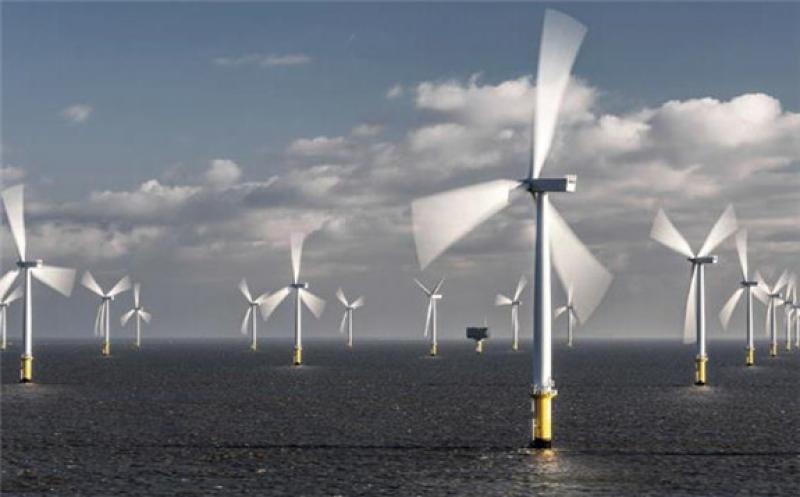
Thirty partners from academia and industry from eight European countries worked on developing and validating new methods for the assessment of wind conditions as part of the NEWA R&D project.
The main aim of the atlas, which was launched on 27 June in Brussels, was the development of standardized online maps for site assessment.
With the application of a weather forecasting model, the wind conditions of the past 30 years were simulated for whole Europe with a resolution of 3km.
Information about long-term wind climate at each grid point can be accessed via a web interface, which includes interactive maps, time series data, and statistics concerning wind speed, as well as other parameters of relevance to the wind industry at different altitudes.
Jakob Mann, Professor at DTU Wind Energy and coordinator of the international consortium, said that “NEWA is the largest and most detailed data set for the validation and assessment of wind conditions.”
The NEWA project started in 2015 and was financed via national funding programs in the partner countries and EU funding to the sum of EUR 13.5 million.
